Art
7 Amazing Facts About Colombia Earthquakes You Should Know

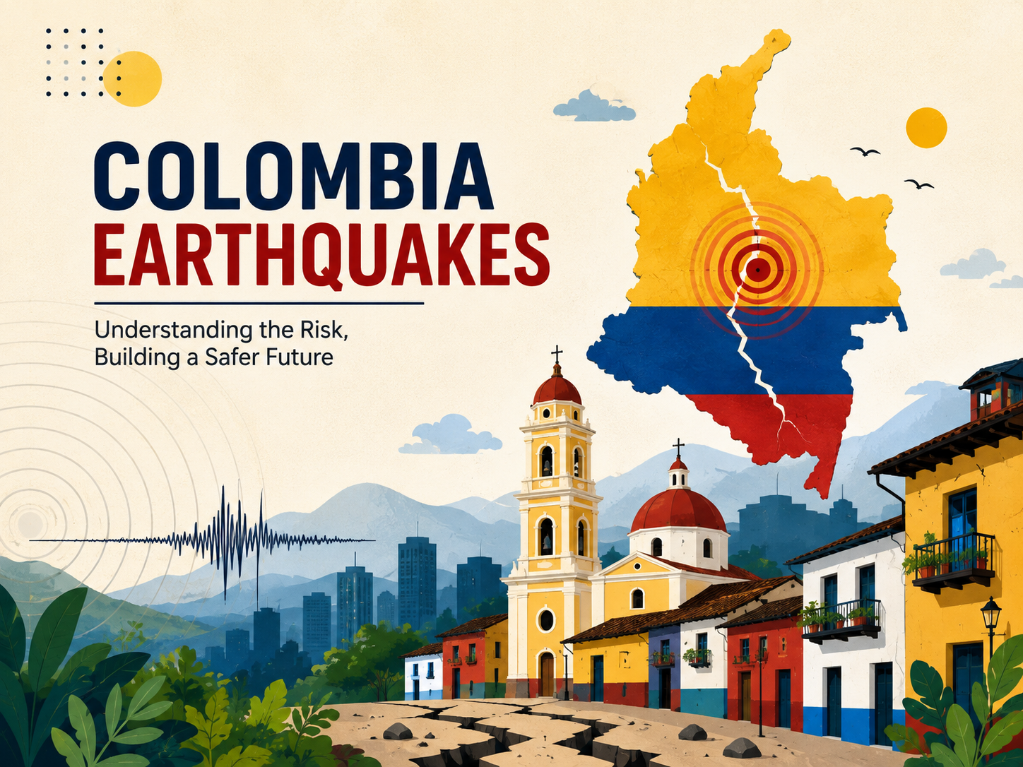
Earthquakes are a natural part of life in Colombia, a country located in a region with complex tectonic activity. Colombia earthquakes can range from small tremors that are barely noticed to stronger events capable of affecting buildings, roads, and communities.
Colombia’s geological setting helps explain why seismic activity occurs across much of the country. The interaction of the Nazca, South American, and Caribbean plates creates several active seismic environments, while areas such as the Pacific region and the Bucaramanga Seismic Nest are particularly important for earthquake monitoring.
Understanding where earthquakes occur, why they happen, and how people can prepare is more useful than simply watching earthquake numbers. This guide explains the science behind seismic activity in Colombia and what residents and visitors should know.
Why Does Colombia Have So Many Earthquakes?
Colombia’s earthquake activity is closely connected to its tectonic setting.
The country lies near the meeting and interaction of several tectonic plates. In particular, the Nazca Plate interacts with the South American Plate along the Pacific margin, while the Caribbean Plate also contributes to the region’s complex tectonic environment.
These interactions can create stress within the Earth’s crust. When accumulated energy is released, seismic waves travel through the ground and produce an earthquake.
The Colombian Geological Service describes Colombia as a seismically active country because of its geological and tectonic configuration.
Where Do Colombia Earthquakes Happen Most Often?
Earthquakes are not limited to one city or region. Colombia has several different seismic environments.
Pacific Region
The Pacific side of Colombia is strongly influenced by the subduction of the Nazca Plate beneath the South American Plate. This tectonic process contributes to significant seismic activity in and around the region.
Bucaramanga Seismic Nest
The Bucaramanga Seismic Nest is one of the country’s most distinctive areas of seismic activity. It is recognized as a separate seismic environment in Colombia’s national seismic hazard model.
Andean Regions
Colombia’s Andean geography contains several geological structures capable of generating earthquakes. As a result, seismic activity can also occur away from the Pacific coast.
Caribbean Region
The interaction involving the Caribbean Plate contributes to the country’s broader tectonic complexity. This is another reason earthquake monitoring is important across Colombia rather than being limited to one location.
How Are Earthquakes in Colombia Monitored?
The Servicio Geológico Colombiano (SGC) is responsible for monitoring seismic activity in Colombia. Its monitoring system provides information intended to help authorities and the public understand earthquake activity and respond to potential hazards.
The SGC also collects reports from people who felt an earthquake through its “Sismo Sentido” system. These reports help researchers evaluate how strongly an earthquake was experienced in different locations.
Internationally, the U.S. Geological Survey also maintains earthquake catalogs and maps covering earthquakes around the world. Its earthquake program provides tools for finding recent and historical seismic events.
Earthquake Magnitude vs. Intensity
When reading reports about Colombia earthquakes, it is important to understand the difference between magnitude and intensity.
Magnitude
Magnitude describes the size of an earthquake based on measurements of the energy released at its source.
Intensity
Intensity describes how strongly an earthquake’s effects are experienced at a particular location. The same earthquake can therefore have different intensity levels in different places.
Factors such as distance from the earthquake, depth, local geology, and building construction can influence how strong the shaking feels.
What Determines Earthquake Damage?
An earthquake’s magnitude alone does not determine the amount of damage.
Important factors include:
- Distance from the epicenter
- Depth of the earthquake
- Local ground conditions
- Building design and construction
- Duration of shaking
- Population density
- Preparedness and emergency response
The Colombian national seismic hazard model is designed to estimate potential seismic effects and support decisions related to earthquake-resistant construction and risk reduction.
Colombia Earthquake History
Colombia has experienced numerous earthquakes throughout its history. Because the country’s tectonic environment is complex, seismic events have occurred in different regions and at different depths.
Historical earthquake records are useful because they help scientists understand patterns of seismicity and estimate potential hazards. However, historical activity does not mean scientists can predict the exact date, location, or magnitude of a future earthquake.
The Colombian national seismic hazard model uses geological, tectonic, and seismological information to assess earthquake hazard across the country

Can Scientists Predict the Next Colombia Earthquake?
No reliable scientific method can currently provide an exact prediction of when and where a particular earthquake will occur.
Instead, scientists use probabilistic earthquake hazard assessment. Colombia’s national seismic hazard model estimates probabilities of different levels of ground motion over specified periods. The SGC specifically notes that this model is probabilistic rather than predictive.
This distinction matters because earthquake hazard maps should not be interpreted as announcements that an earthquake will happen on a particular date.
What Should You Do During an Earthquake?
Knowing what to do before shaking starts can reduce confusion during an emergency.
During the Shaking
A widely recommended approach is:
- Drop to the ground before the shaking knocks you down.
- Cover your head and neck and protect yourself under sturdy furniture if possible.
- Hold on until the shaking stops.
- Stay away from windows and objects that could fall.
- If you are indoors, generally remain indoors until the shaking stops and it is safe to leave.
If you are outside, move away from buildings, trees, power lines, and other objects that could fall.
How Can People Prepare for Colombia Earthquakes?
Preparation is one of the most practical ways to reduce earthquake-related risks.
Consider keeping an emergency kit with:
- Drinking water
- Non-perishable food
- Flashlight
- Extra batteries
- First-aid supplies
- Necessary medications
- Important documents
- Phone charger or backup power source
- Basic hygiene supplies
Families can also agree on a meeting place and identify safer areas inside their homes.
Earthquake Safety for Buildings
Building quality plays an important role in earthquake risk.
Colombia’s seismic hazard research has been used to support earthquake-resistant design and construction practices. The national hazard model helps provide information for understanding the seismic conditions that buildings and infrastructure may face.
People living in earthquake-prone areas can benefit from understanding their building’s construction and following local safety guidance.
How to Check Recent Colombia Earthquakes
If you are looking for the latest earthquake information, use official monitoring services rather than relying only on social media posts.
The Colombian Geological Service provides information about seismic activity in the country, while the USGS maintains a global earthquake catalog and recent-earthquake maps.
When checking an earthquake report, look at:
- Date and time
- Location
- Magnitude
- Depth
- Reported intensity
- Official source
- Whether authorities have issued any additional guidance
This helps distinguish confirmed earthquake information from unverified online claims.
Frequently Asked Questions About Colombia Earthquakes
Why is Colombia prone to earthquakes?
Colombia is located in a complex tectonic region where the Nazca, South American, and Caribbean plates interact. These geological processes contribute to frequent seismic activity across different parts of the country.
Which part of Colombia has significant earthquake activity?
Several areas experience seismic activity. The Pacific region and the Bucaramanga Seismic Nest are among the important seismic environments identified in Colombia’s national seismic hazard model.
Does Colombia have earthquake monitoring?
Yes. The Servicio Geológico Colombiano monitors seismic activity throughout the country and provides earthquake information to authorities and the public.
Can Colombia earthquakes be predicted?
Scientists cannot reliably predict the exact date, location, and magnitude of an individual future earthquake. Instead, seismic hazard models estimate probabilities and potential ground-motion levels.
What should I do during an earthquake?
Drop, cover, and hold on during shaking. Stay away from windows and objects that could fall, and follow instructions from local emergency authorities.
Where can I find recent earthquake information?
The Colombian Geological Service is a key source for earthquake information in Colombia. The USGS also provides a worldwide earthquake catalog and recent-earthquake maps.
Conclusion
Colombia earthquakes are a natural consequence of the country’s complex geological and tectonic setting. Activity occurs in several regions, with the Pacific area and Bucaramanga Seismic Nest among the important environments identified by Colombian seismic research.
While scientists cannot predict exactly when the next earthquake will occur, monitoring, hazard assessment, earthquake-resistant construction, and personal preparedness can all help reduce risk.
For the most reliable information after an earthquake, check official sources such as the Colombian Geological Service and established seismic monitoring organizations rather than relying on unverified social media reports.